Melt ponds successfully forecast Arctic sea-ice extent
- Published

A UK technique for forecasting the extent of summer sea ice in the Arctic proved its worth this week.
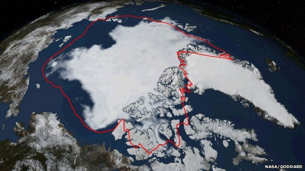
Reading researchers announced in June that the floes would cover 5.4 million sq km come the end of the melt season - give or take half a million.
US agencies called the actual number on Monday as 5.02 million sq km.
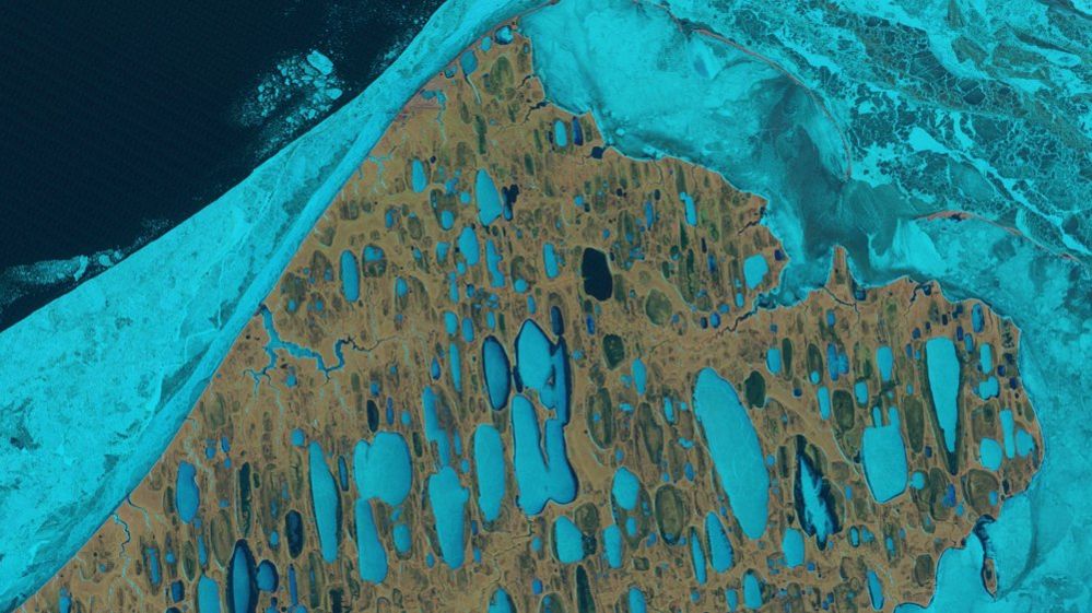
The British team's modelled forecast hangs on the amount of water ponding on top of the ice as it warms in the spring.
These ponds have been shown to promote melting.
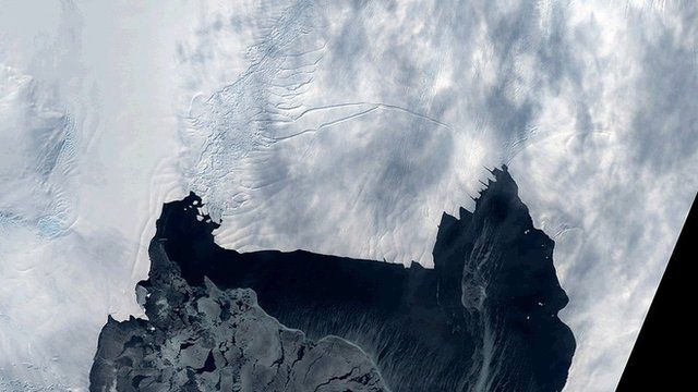
Projecting the behaviour of seasonal ice in the Arctic has been a difficult problem.
Achieving a good level of skill - even just a few months ahead - would be useful to many sectors.
Shipping, tourism and oil industries - all are looking to exploit the opportunities that will emerge in an Arctic that is expected to become more open in a warming climate.
Public projection
It is two years running now that Reading's meltpond forecasts have landed virtually on the button.
For September 2013, the group's spring projection was for a mean ice extent of 5.55 million sq km. The eventual number again fell within the uncertainty bounds, at 5.35 million sq km.
But unlike the 2013 forecast, this year's projection was made publicly in advance. The polar modelling community was watching.
The projection of 5.4 million sq km (4.9-5.9 million sq km) was technically for the "September average" extent. This number will be known in a few days, but is likely to be more than 5.02 and therefore even closer to the Reading forecast.
"The fact that we have this repeated success lends some confidence," Prof Daniel Feltham from the NERC Centre for Polar Observation and Modelling at Reading told BBC News.
"We have error bars, and we can describe skill as being between one and zero, where one is perfect and zero is terrible. We're about 0.4 or 0.5.
"That may not sound very good, but it's still a lot better than anything else that's out there," he explained.
Weather uncertainty
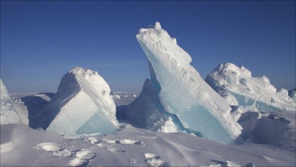
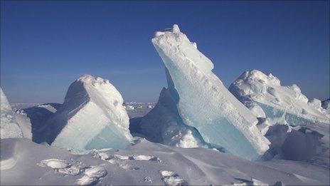
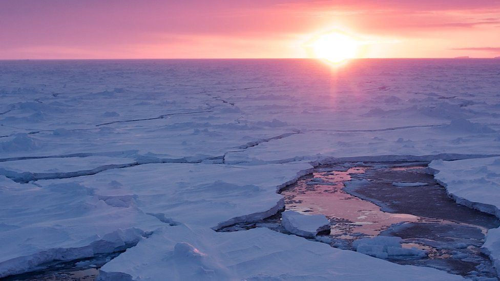
As the sun rises in the Arctic in the spring, the sea ice starts to melt and water will begin to pond on top of the floes. This will change the pack's reflectiveness, or albedo.
The ponds are darker than the bare ice and therefore absorb more of the Sun's energy, driving further melting.
Prof Feltham's team has developed a model to forecast the evolution of melt ponds in the Arctic and has incorporated this into more general climate sea-ice models.
Satellite records show that the year with the smallest pond fraction in late spring (11% in 1996) had the biggest sea ice extent in September; and the year with the largest pond fraction (34% in 2012) featured the all-time low extent come the autumn.
"There is a fundamental limit to how skilful we can be with this," said Prof Feltham.
"If we're making a prediction for September in the spring, it means we've still got to contend with a few months of weather, and we can't capture all the natural variability in the system."
Prof Feltham described his team's work at a major UK Royal Society conference on the Arctic this week.
Jonathan.Amos-INTERNET@bbc.co.uk and follow me on Twitter: @BBCAmos
- Published22 September 2014
- Published1 September 2014
- Published17 June 2014

- Published29 May 2014
- Published3 February 2014
- Published16 December 2013
- Published20 September 2013